New Geographic Data Mapping Courses
Maps have always told stories. From ancient cartographers sketching coastlines to modern data scientists tracking urban development patterns, geographic visualization transforms raw information into compelling narratives that resonate with human experience. Unlike traditional charts or dashboards that present abstract or theoretical numbers, maps connect data directly to the physical world around us, making insights immediately actionable and understandable.
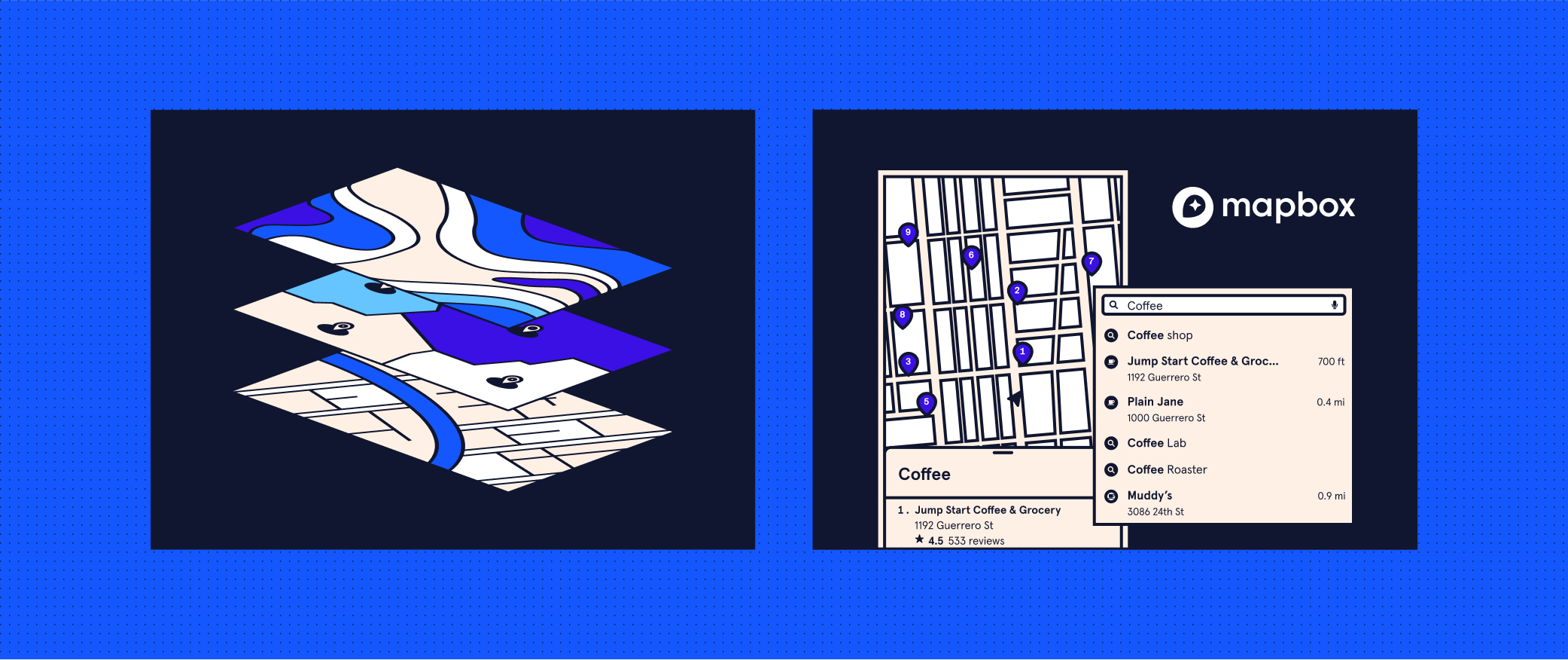
Our new courses teach you to harness this power. Intro to Geographic Data Mapping covers spatial data fundamentals, while Learn Geographic Storytelling with Mapbox teaches you to use Mapbox — the platform behind location-aware apps and businesses — to create compelling geographic visualizations for the web. Built by industry experts, both courses provide the foundational knowledge and hands-on skills you need to add geographic storytelling to your professional toolkit.
Who these courses are for
These courses are perfect for data analysts, data scientists, and developers looking to enhance their storytelling skills. You don’t need to be a geographic information systems specialist — spatial data techniques help anyone transform abstract data into compelling insights that resonate with all kinds of stakeholders and audiences.
“Maps help us to see data in the context of the physical world, which is really powerful for how we think about problems and solutions,” says Eva Sibinga, Senior Curriculum Developer at Skillsoft (the learning company Codecademy’s part of) who helped make the courses. A web developer, for example, can use geographic data to turn a simple interface into an immersive, location-aware experience.
The free course Intro to Data Mapping requires no prerequisites, making it perfect for beginners who want to jump in and learn about the different ways we visualize geographic data. Learn Geographic Storytelling with Mapbox involves some coding and comfort with data tools. You’ll be using Mapbox GL JS to make web maps, so basic web development skills are a plus, but you don’t need extensive app building experience.
What will you learn from the courses
Intro to Geographic Data Mapping builds your foundation in geographic visualization:
- Learn how digital maps fit into data workflows — from building requirements to publishing options
- Master essential data visualization approaches, including common map types and best practices
- Recognize and apply different data-driven mapping techniques
- Understand how geographic and data layers work together to tell compelling stories
Learn Geographic Storytelling with Mapbox provides hands-on training with industry-standard tools:
- Discover how Mapbox integrates into your digital mapping toolkit
- Master data preparation, hosting, map styling, and interactivity
- Create and customize map styles
- Work confidently with point, line, and polygon data
- Navigate Mapbox Studio’s interface and understand how it fits into broader workflows
- Publish and deploy professional Mapbox maps
Maps help us be action-oriented because they connect data to the world around us. Together, these courses transform you from someone who consumes maps to someone who creates them, giving you both the conceptual understanding and technical skills needed for professional geographic storytelling. A thoughtful map project in your portfolio demonstrates that you can create work with real-world relevance and impact.
Ready to start your geographic storytelling journey? Upgrade to a Codecademy Plus or Pro membership so you can explore both courses to build comprehensive mapping skills.
Source link


